Area guide · Dyer's Bay
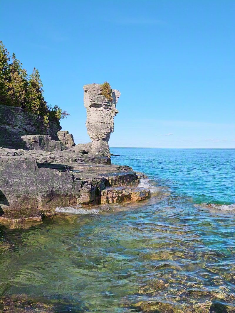
Devil's Monument, the flowerpot you can walk to
People pay for a boat to see the flowerpots on Flowerpot Island. There is one on the mainland, 44 feet of limestone standing on its own narrow waist above a cobble beach, and getting to it costs a walk through the woods and a long staircase. The municipality started charging for the parking in 2026, so summer now needs booking, but there is still no queue. It stays quiet for one reason only, which is that it is not on the way to anything else.
What it is and how it got that shape
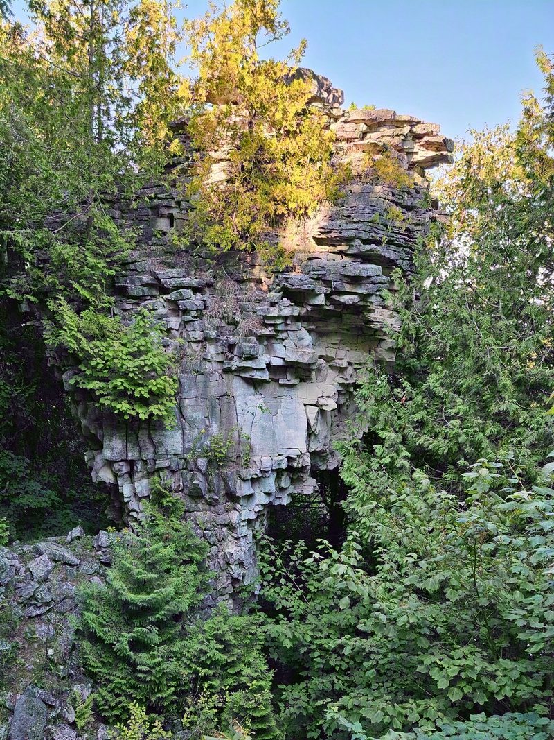
Devil's Monument is a sea stack, cut about 5,500 years ago by glacial Lake Nipissing, an ancestor of Lake Huron that stood a good deal higher than the lake does now. Softer rock at the base wore away faster than the harder cap on top, and what was left is a column with a wide head and a thin neck. It is the same process that made the stacks on Flowerpot Island. The difference is that this one ended up on the mainland with a trail to it.
At 44 feet it is the largest flowerpot on land on the peninsula, and the only complete one on this side of it. The photographs never manage to say so. It is the cedars rooted in the top of it that finally give you the scale. There are small waterfalls running down the rock beneath the monument, which are easy to miss if you only ever look up.
Getting there and the walk
About 3 km return from the closest parking, or a 4 km loop. Easy to moderate, and then a lot of stairs.
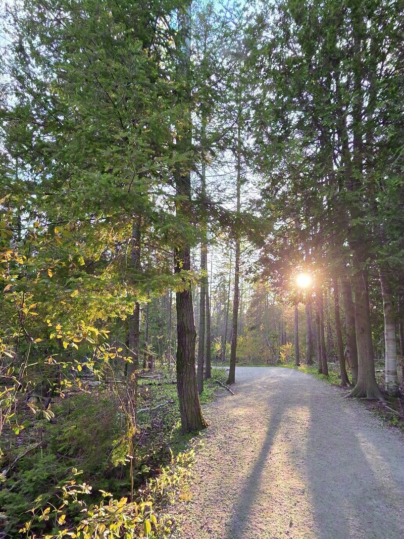
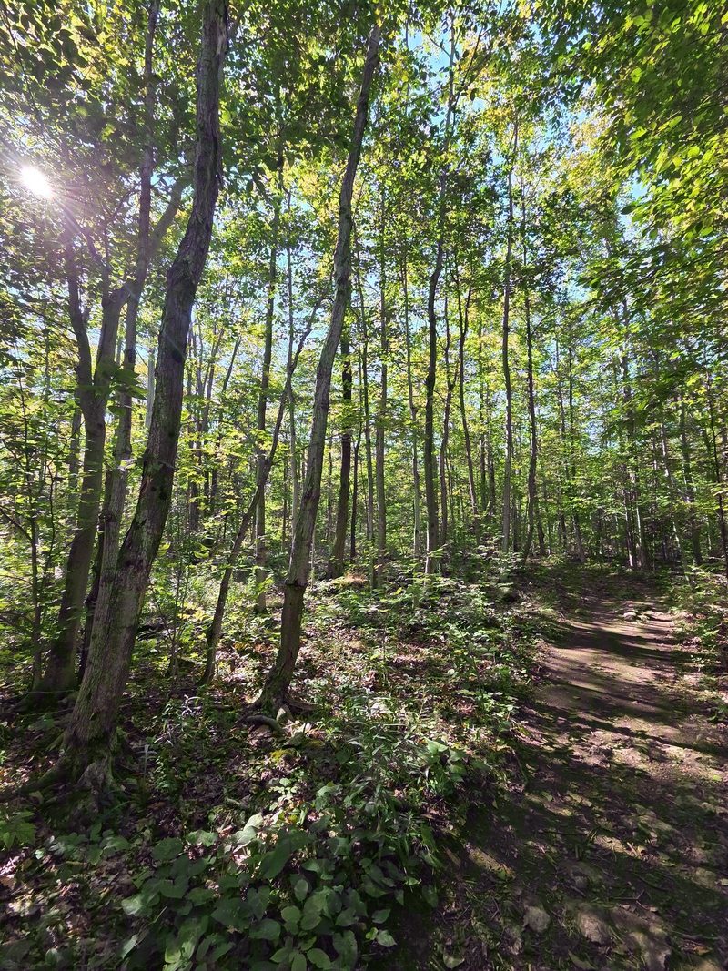
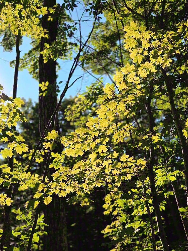
There are 2 parking areas on the eastern shore of the peninsula, Borchardt Road and Dyer's Bay Road. Borchardt Road is the closer of the 2, about 1.5 km from the monument. The walk in runs through hardwood forest, which is a real change from the cedar and limestone up at the Tobermory end, and it is flat and shaded the whole way to the edge of the escarpment.
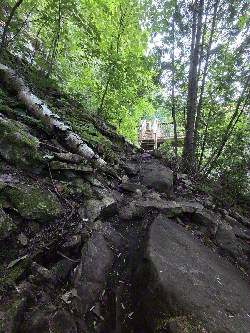
Then the way down. It is not all staircase: the wooden flights cover part of the descent and the rest is bare rock, often wet and slippery, so take it slowly and be extra careful with children and with anyone unsteady on their feet. The monument is standing there when you arrive. Everybody forgets they have to come back up, and the climb plus the same wet rock is the entire difficulty of this hike, so if stairs or footing are a problem for anyone in the group, this is the thing to know before you set off rather than from the bottom.
The beach at the bottom
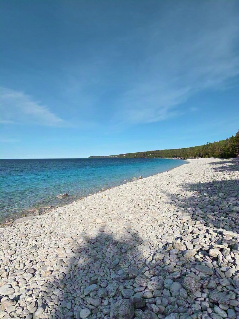
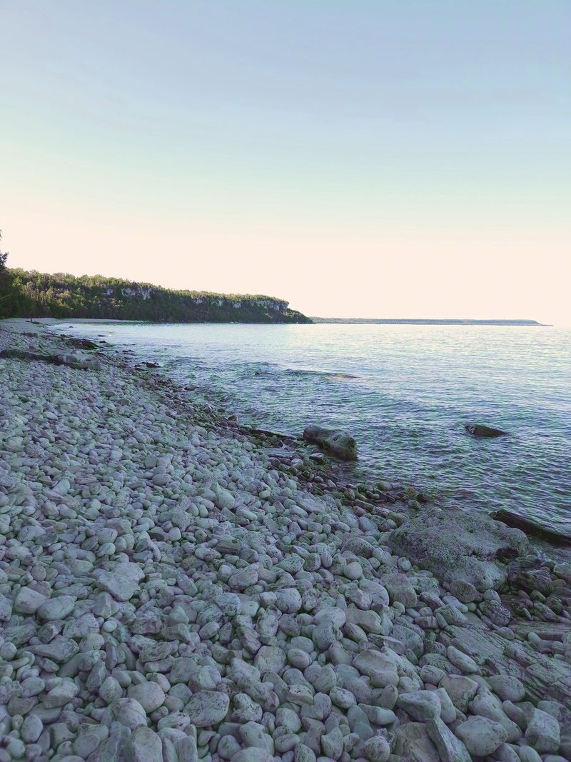
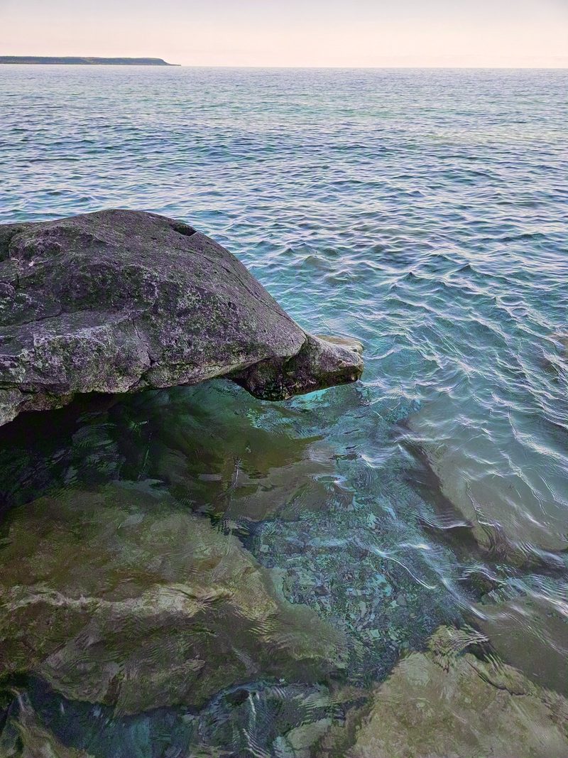
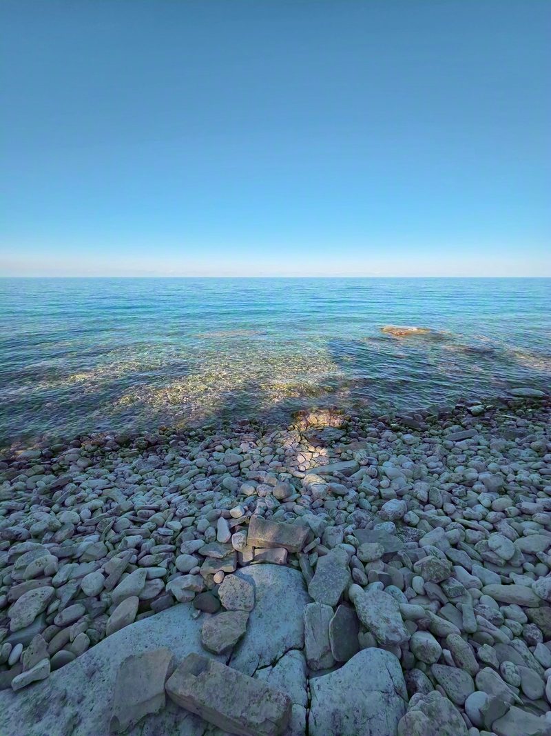
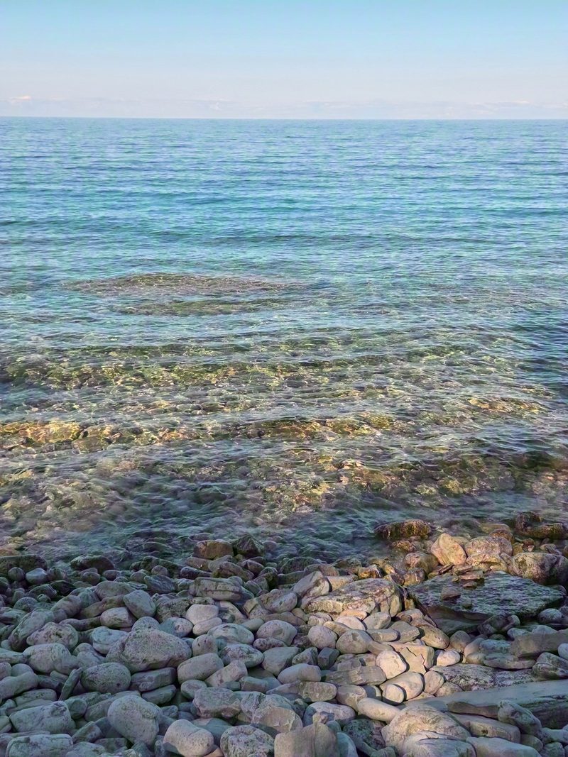
Most people photograph the monument and turn around, which leaves the shoreline to whoever keeps walking. It is white cobble, the water is as clear as anything up at the Grotto and there is usually nobody on it.
This is municipal parking rather than national park parking, so a Grotto booking does nothing for you here and a booking here does nothing for you there.
The sun leaves this beach early
This is an east-facing shore with the escarpment right behind it, so the sun is on the water through the morning and early afternoon and then the cliff takes it back. The shallows warm up under direct sun, so if a swim is part of the plan, go in the morning or early afternoon while the light is still landing on the water. Every photo on this page is from about 5:30 on an August afternoon, and the beach was already in shade with the last patches of sun coming through the gaps.
Later has its own argument. We have been down there at 6 in August with nobody else on the beach at all, and the far headland holds the light long after the cobbles lose it. Give yourself the stairs and the wet rock back up in daylight. There is no lighting on any of it.
What to know
- Parking needs a reservation from May 15 to September 15, booked in 1 hour blocks at $5 with a daily maximum of $30 through the municipal parking system. It applies at Borchardt Road and at Dyer's Bay Road. Outside those dates there is no booking and no charge.
- Nothing is sold at the trailhead. Carry water, especially if it is warm, because you are climbing on the way back.
- Proper shoes. Cobble rolls underfoot and wet limestone is slippery.
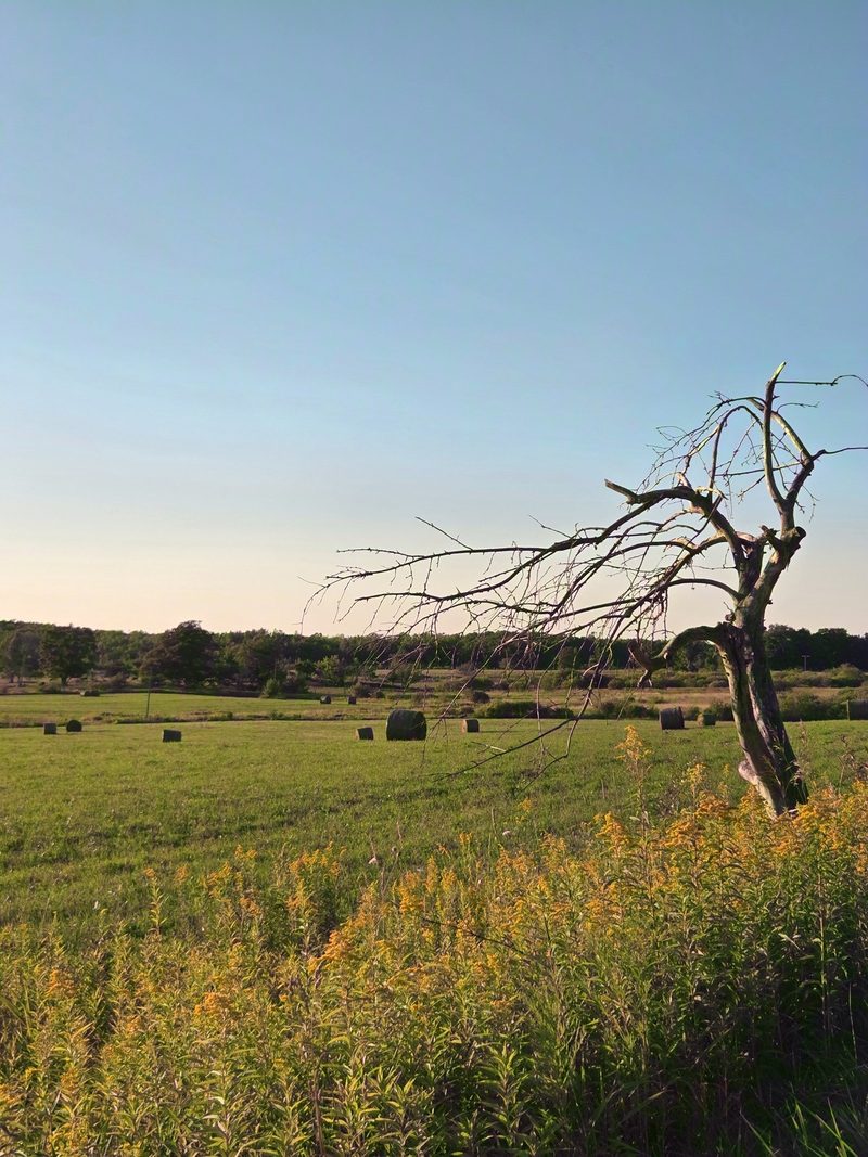
- The drive is part of it. Dyer's Bay Road runs through beautiful farmland and the last stretch is quiet in a way the Highway 6 corridor never is.
- Do not add to the cairns or move rock around on the shore. It is a habitat as well as a photograph.
Reservation windows, trail conditions, staircase closures and road access change season to season. Confirm parking on the municipal parking page, which is where both lots book, and the trail on the Parks Canada and Bruce Trail Conservancy sites before you set out. Trust them over any blog, ours included.
Keep planning