Area guide · On foot
Bruce Trail day hikes: 5 walks and the 2 that need booking
The Bruce Trail is Canada's oldest and longest marked footpath, and it ends in Tobermory, which means the most dramatic hiking in southern Ontario is the last stretch of it. You do not need to be a backpacker to get at it. What you do need is to know which trailheads take a reservation, because that is the thing that turns a good morning into a long drive home. Here are 5 day hikes, graded plainly, with the access rules attached to each one.
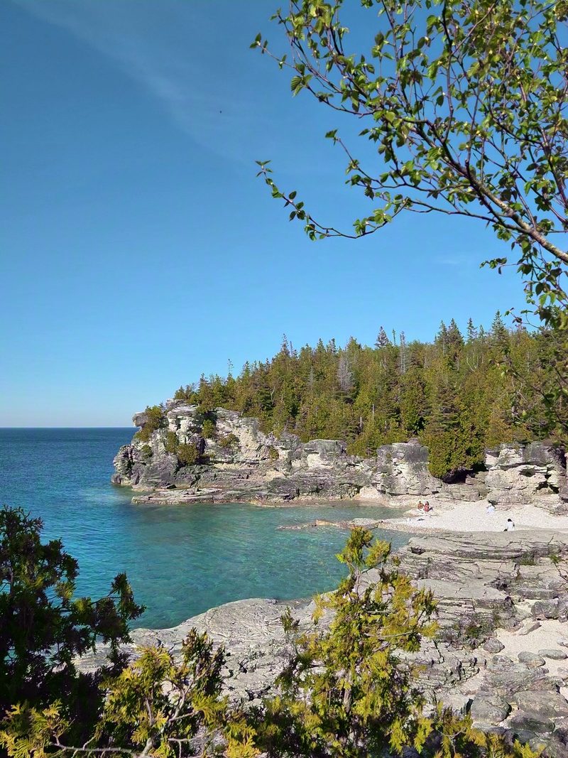
Before you go anywhere
- White blazes are the main trail, blue blazes are side trails. That is the entire navigation system and it works, as long as you are actually looking for the next one.
- Cliff-edge sections mean real exposure. There are no railings for most of this coast. Keep children close and put grippy shoes on everyone.
- Carry more water than a short hike seems to deserve. Nothing is sold at any of these shorelines.
- Cell coverage is patchy once you are off Highway 6, so download the map before you leave the car.
- 2 of these trailheads need a parking reservation in season. Read the note under each one before you set off.
1. Halfway Log Dump, the quiet Grotto
About 2 km return to the shore. Easy walk, long cobble beach.
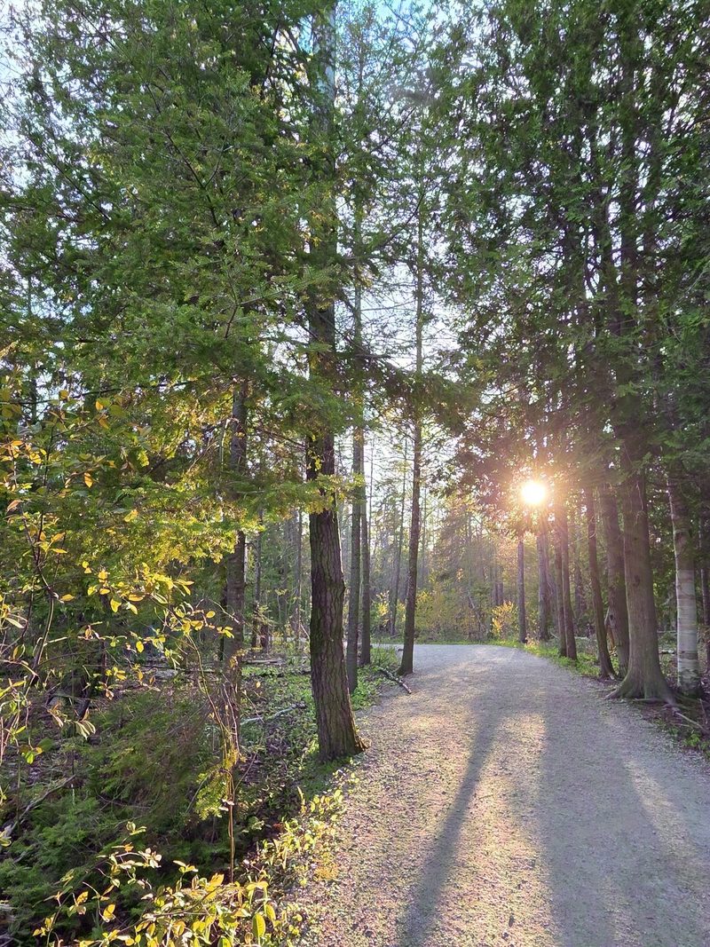
The name is a leftover from the logging days, when logs were floated from this spot to the mills, and it undersells the place completely. What is down there is a very long white cobble beach and water the same impossible blue as the Grotto, with a fraction of the people. It is Little Cove stretched out, and it swims and sunbathes accordingly. From the shore the white blazes run along the coast for as far as you feel like walking.
Access note: this is inside Bruce Peninsula National Park and the parking has its own reservation system, required from June 19 to September 7 and on longer slots than the Grotto. Outside those dates it is first come, first served with self registration at the lot. Emmett Lake Road is not plowed, so it is closed from mid November to mid April. The booking, the walk down and where to go once you are on the shore are all in our Halfway Log Dump guide.

2. The coast south of Little Cove, as far as you feel like going
Out and back, your choice of distance. Rocky underfoot from the start.
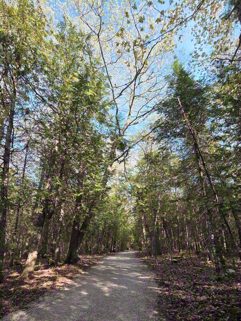
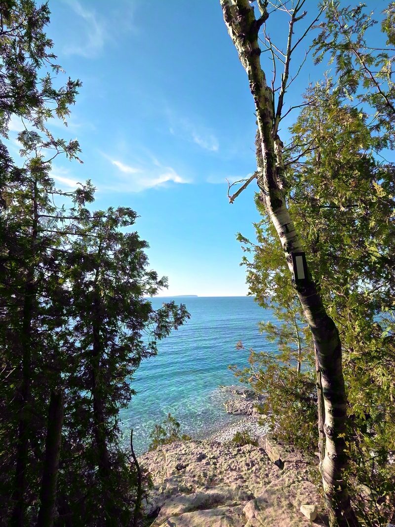
Start at Little Cove at the end of Little Cove Road and follow the white blazes along the shore. Cedar forest, cobble beaches and overlooks the day-trippers never see, and because it is an out and back you set the length yourself. The first hour is the best value on this coast.
Do not treat it as a route to the Grotto. Parks Canada is blunt that there is no safe access to the Grotto from Little Cove, and that the return hike can run over 12 hours across some of the most difficult and technical ground on the whole Bruce Trail. It is a serious backcountry day, not a way around a reservation.
Access note: Little Cove has its own rules and they are narrower than most people expect. A parking reservation is required from May 15 to September 15 and roadside parking on Little Cove Road is enforced by the municipality rather than the park. The full picture, including the fossil shore and what to do if you are not hiking, is in our Little Cove guide.

3. Overhanging Point, past where the crowds stop
Add about 2 km beyond the Grotto. Moderate.
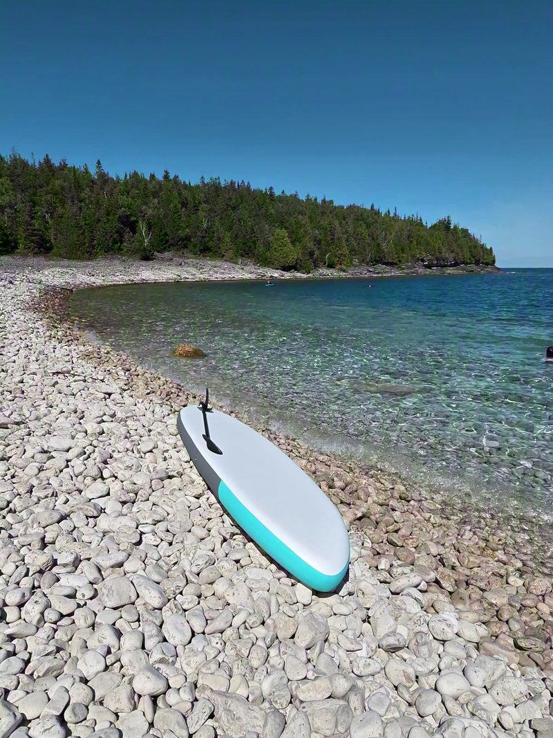
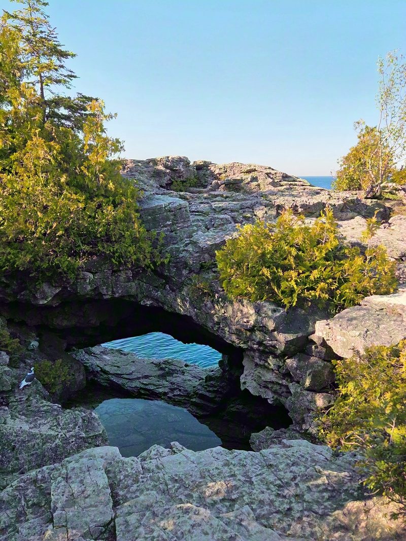
Keep going past the Grotto on the white blazes and the crowds thin out within 10 minutes, which is the cheapest trick on this coast. The reward is Overhanging Point, a shelf of rock cantilevered out over the bay, with quiet coves the whole way there. Same trailhead and the same reservation as the Grotto, so it costs you nothing extra except the legs.
4. Lion's Head lookout, the peninsula's classic
About 30 minutes' drive south. Loop options roughly 8 to 13 km. Moderate-plus.
The most famous viewpoint on the whole trail: white dolomite cliffs curving around Isthmus Bay, with lookouts arriving one after another the entire way. This is the real hike on the list and it wants a half day, proper shoes, lunch in the bag and a look at the forecast before you commit. The exposure at the lookouts is genuine, so it is not the one to do with a tired 6 year old.
It pairs well with a stop in Lion's Head village afterwards, which has a bakery and a few places to eat. Our food notes cover what is down there.
5. Devil's Monument, the short one with the big finish
About 3 km return from the closest parking, or a 4 km loop. Easy to moderate, with a lot of stairs.
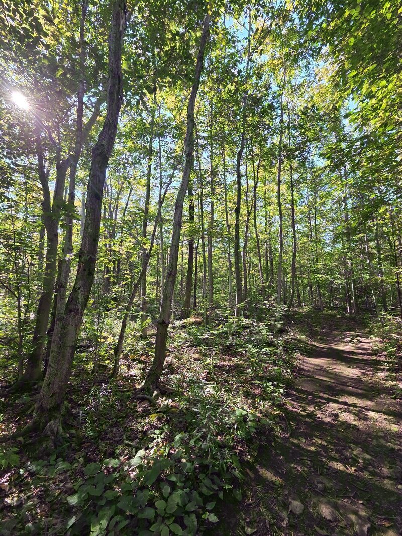
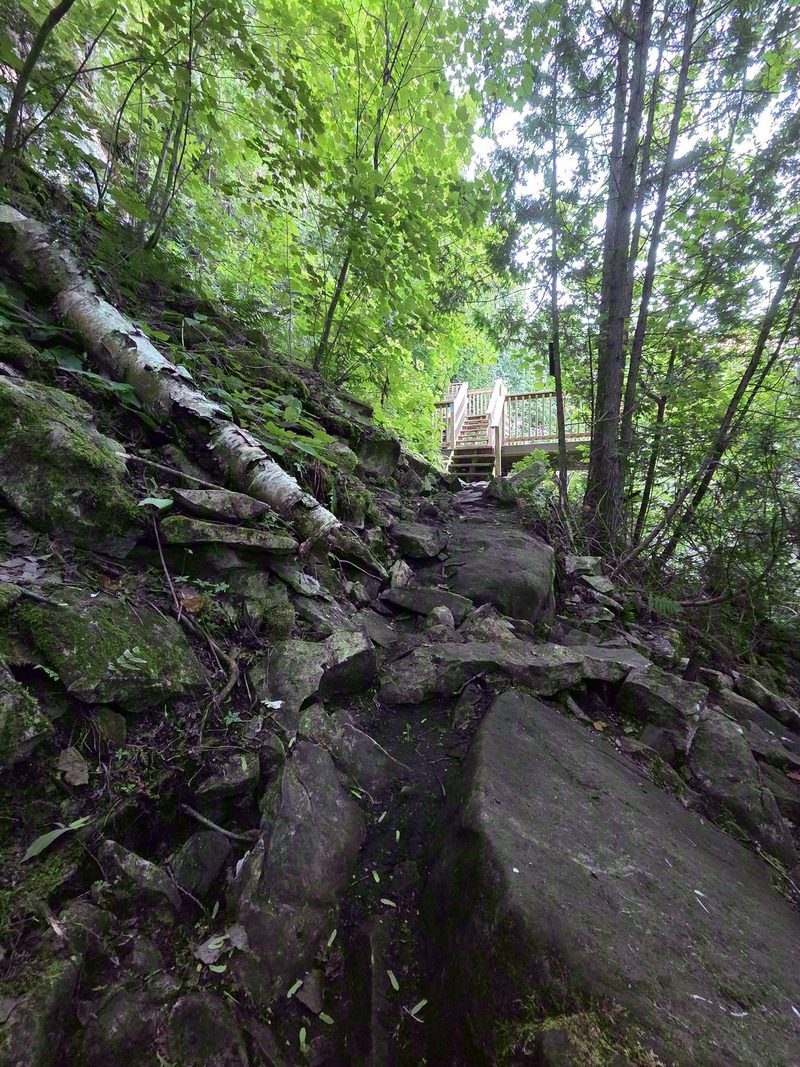
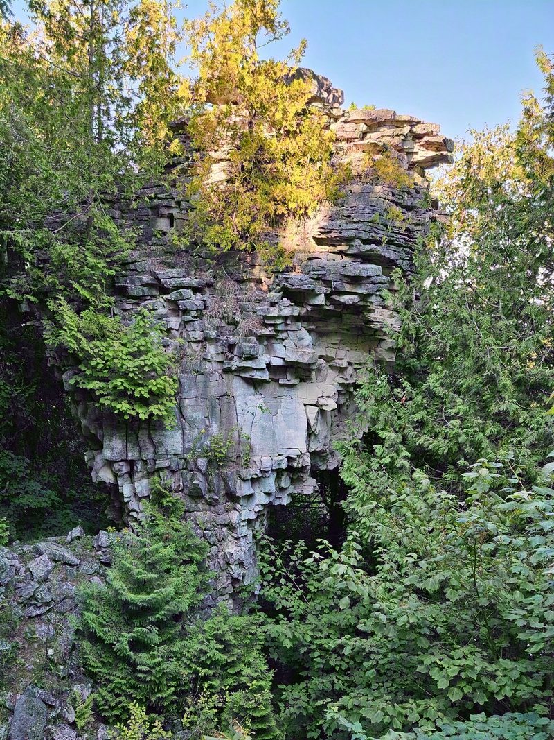
Off Borchardt Road or Dyer's Bay Road on the eastern shore, a short walk through hardwood forest brings you to the top of the escarpment, and then a long wooden staircase takes you down it to a cobble beach. Standing there is the peninsula's own flowerpot: 44 feet of limestone with a heavy wide cap on a narrow waist, cut into that shape about 5,500 years ago by glacial Lake Nipissing. It is the same process that made the stacks on Flowerpot Island, except this one is on the mainland and you can walk to it.
Small effort, large payoff and it is rarely busy because it is not on the way to anything. The stairs are the whole difficulty and everybody forgets they have to come back up them. The parking is municipal rather than national park, and since 2026 it needs a booking from May 15 to September 15, so a Grotto reservation does nothing for you here. Our Devil's Monument guide covers the drive, the staircase and the beach at the bottom.
Honorable mentions
- The Singing Sands fen boardwalk, flat and short, for orchids in June and the easiest walking in the national park.
- The Burnt Point loop straight from Tobermory village, for a forest hour when you do not want to drive anywhere.
- Flowerpot Island's loop trail, roughly 3 km, for a hike that starts with a boat ride and ends at a lightstation.
When to walk here
- May and June bring wildflowers, cool air and bugs in the woods. Carry something for the bugs and you will have the trails to yourself.
- July and August work beautifully if you start early, and become a queue if you do not.
- September and October are the best of it. Stable weather, water still warm enough for a post-hike swim and color coming into the canopy.
- Whatever the month, go in the evening. Every one of these trailheads empties out after about 5, and the light on the water is better anyway.
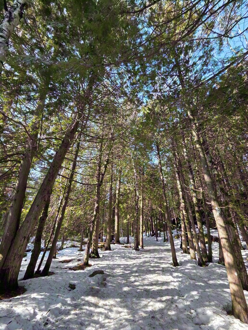
- Winter turns several of these into snowshoe routes and closes others when the roads stop being plowed. Our winter guide and Grotto in winter guide cover which is which.
Trailhead reservations, fees and road access change season to season. Confirm on the Parks Canada and Bruce Trail Conservancy sites before you set out. Trust them over any blog, ours included.
Keep planning
Where to go next
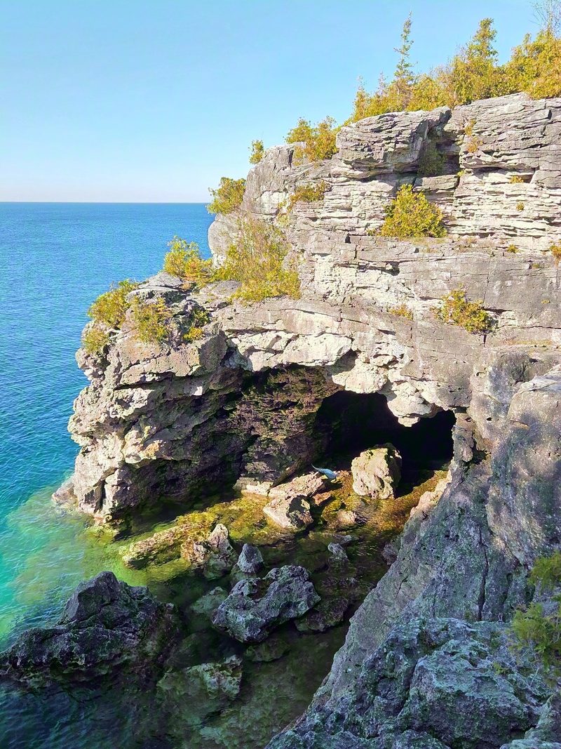
The Grotto reservation guide
1 of these hikes runs on the Grotto's own booking. Here is how that system actually works.
Keep reading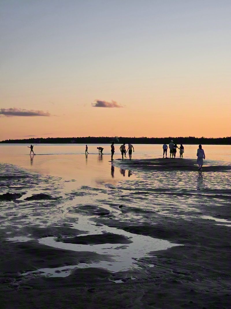
Singing Sands
The flat, easy walking and the warm water to put your legs in afterwards.
Keep reading
Where to eat near Tobermory
Breakfast before, and the meal you will have earned afterwards.
Keep reading